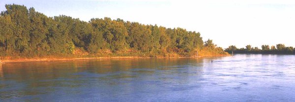
Hunting Near Burnt Hills
Cruzatte and Lewis walked quickly into the forest near where the Burnt Hills of the Dakota Territory mark the northernmost point of the Missouri River. Their rifles were loaded. Since early that morning the men accompanying Captain Lewis had been making good time, sliding their pirogues and canoes eastward with the river's current. The Captain hoped to arrive at Burnt Hills by noon to take the latitude of the river at that point and then press on to a reunion with Captain Clark and the rest of the Corps of Discovery coming down the Yellowstone. It would save them a good half a day if they got there on time and cost more than a day if they did not.
It was August 11, 1806 and the Corps had already carved a route through the Rocky Mountains to the Pacific and was now returning. With over two thousand miles to go, the two groups were anxious to rendezvous --anxious to leave the wilderness behind --anxious to reach the Mandan villages --and anxious to make St. Louis before another blinding Dakota winter had a chance to grip them in its cold fist. Unfortunately it was twenty minutes past noon when they arrived at Burnt Hills, and the sun's meridian altitude had already slipped passed its zenith, canceling for the day their intended latitudinal observation. Their commission, signed by Thomas Jefferson, called for careful record keeping and thorough journal observations along the entire route. The half-day or so they had hoped to gain was lost. They would make camp for the night.